Infrastructure
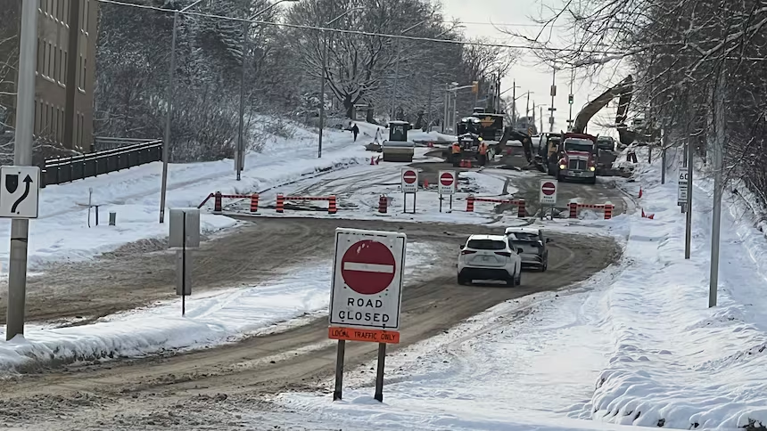
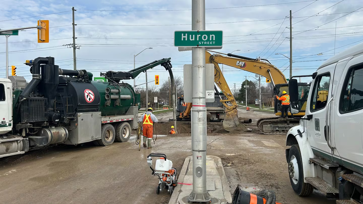
Two major water mains failed on Highbury Avenue within four months of each other. One in December, one this past April, both at busy intersections, both closing the road for days. That is what happens when a city waits for infrastructure to break before acting on it. Emergency repairs cost far more than planned ones, and the cost gets paid twice: once in tax dollars, and once in the disruption to everyone who uses that road.
The Problem
London still runs on a wait-until-it-breaks approach to roads and water mains. The City meets the provincial requirement for an asset management plan and grades pipe condition based on age, material, and break history. That approach estimates which pipes are aging. It does not measure which ones are actually about to fail.
Kitchener has moved past this. Markham has also moved past this. Both are using tools that are available to London right now.
The Solution
Two changes. One above ground, one below.
Above ground: AI cameras on City vehicles
As City vehicles and buses drive their normal routes, AI-powered cameras automatically flag potholes, faded street lines, cracks, and damaged signs. Markham has been running this for a few years and improved pothole detection by 200 to 400 percent. No extra vehicles on the road. No extra staff dispatched to look for problems. The scanning happens during work that is already being done.
Below ground: predictive software plus ground-penetrating radar
A two-step approach. Predictive software ranks every pipe by how likely it is to fail. Kitchener already does this. Then ground-penetrating radar confirms the actual condition of the highest-risk pipes before the City decides to dig. The software tells us which pipes to look at. The radar tells us what shape those pipes are actually in.
The radar work would be done by trained City staff, not outside contractors. That means the skill and the knowledge stay with London, and the same team that runs the surveys is the team available for the follow-up work.
What This Means For You
If you drive in Ward 3 or anywhere in the city, this means fewer surprise closures on the roads you use every day, and less time detouring around a main that failed without warning.
If you own a home or rent an apartment, this means fewer basements flooded by a pipe nobody knew was failing, and fewer disruptions to water supply on your street.
If you pay property taxes, this means the City spending less on emergency overtime, less on flooded-basement claims, and less on cleaning up traffic disruption after the fact. A planned repair costs a fraction of an emergency one. The savings pay for the program itself.
A Proven Model
My Proposal
- •Start a road-scanning pilot. Put AI cameras on a small group of City vehicles and buses to scan roads during their normal routes.
- •Roll out predictive software for our water mains, using the same models Kitchener has already proven.
- •Add ground-penetrating radar surveys on the highest-risk streets before the City digs. Train and hire London staff to do the work.
- •Fund it with senior government funds. Ottawa and Queen’s Park have already allocated money to municipalities for this kind of infrastructure work.